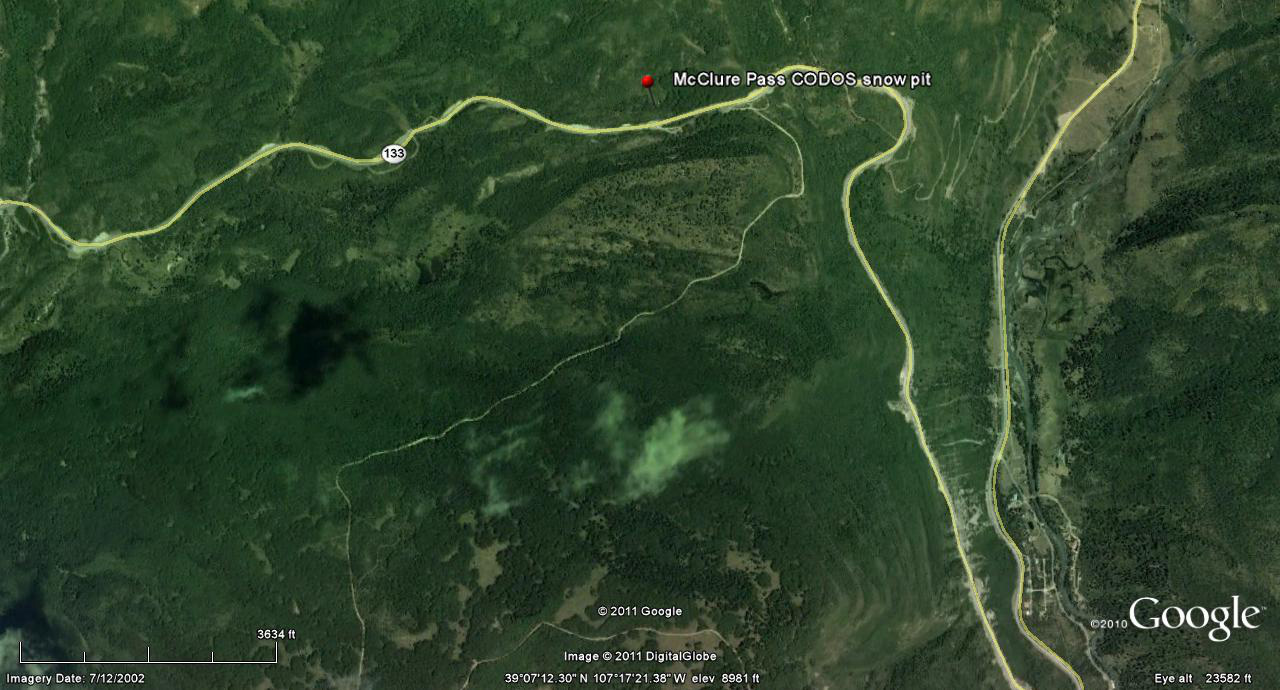
 CODOS Update for McClure Pass:
visited March 16, 2012
Summary | Snowpack | Melt Rate | Forecast | Earlier Updates | pdf
Summary
Dust layer D4 (March 6) was observed, with its characteristic brown/pink color, at the surface of the shallow snowcover at our McClure Pass CODOS site and on surrounding terrain. The snowpack at our site was isothermal and wet throughout. Since our site visit, a new D5 dust layer (March 18) has landed on the D4 surface, entrained in just an inch or two of new snow. With the merged D5/D4 layer at the surface, dust-enhanced radiative forcing of snowmelt runoff will quickly resume later this week.
SnowPack Discussion
Total snow depth in this snow profile (pdf) was 29” and mean density of the snowpack was 351 kg/m3 (35.1% water content). In contrast to most of our other sites, this snowpack showed increasing strength with depth, even in the chains of “depth hoar” seen at the base of this snowpack. Free water was transforming all grain types into wet forms. The snow temperature throughout this profile was 0.0° C. Besides D4 at the surface, a second dust layer was discernible in the middle of the snowpack, and a third just four inches above the ground.


Melt Rate
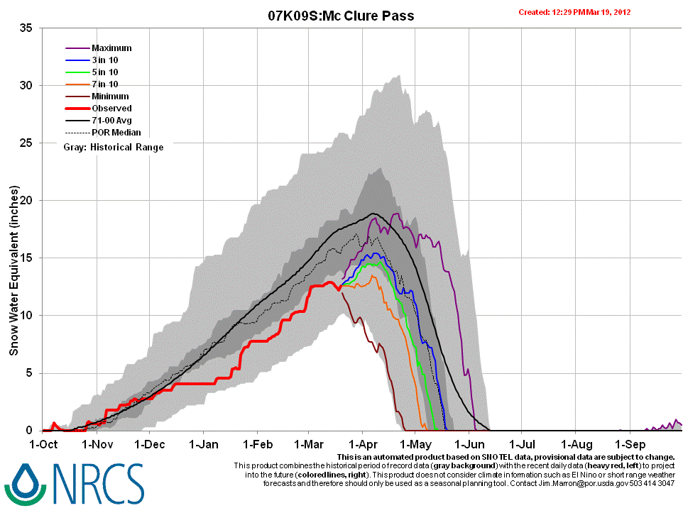
McClure Pass Snotel has reported a slow decline in SWE since the D4 event, March 6, until a small increase in SWE and snowpack depth on Sunday, March 18, in association with D5. Any new snow associated with D5 dust will rapidly settle and enable D5 to merge with D4, enhance radiative forcing, and accelerate snowmelt rates.
Forecast
The National Weather Service expects sunny skies and unseasonably warm temperatures to return soon after the current storm clears (Tuesday, March 20). Under the combination of strong solar radiation and warm air temperatures later this week, settlement of any new snow containing D5 will be very rapid and D5 will quickly merge with the D4 layer. Where the snowpacks in this locale are at or near isothermal temperatures, solar energy absorbed by the merged D4/D5 dust will begin and/or accelerate snowmelt rates and SWE losses. Where the snowpack retains cold content, energy absorbed by that D5/D4 dust will continue to accelerate warming of the higher elevation snowcover to isothermal.