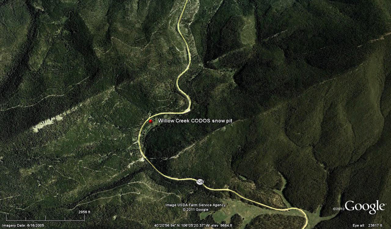
 CODOS Update for Willow Creek Pass:
visited March 15, 2012
Summary | Snowpack | Melt Rate | Forecast | Earlier Updates | pdf
Summary
Dust layer D4 (March 6) was observed, with its characteristic brown/pink color, at the surface of the snowcover at our Willow Creek CODOS site and on surrounding terrain. The snowpack was effectively isothermal at our site, and wet throughout. Since our site visit, a new D5 dust event (March 18) has landed on the D4 surface, entrained in just a few inches of new snow. Dust-enhanced radiative forcing of snowpack warming will resume later this week as D5/D4 re-emerge.
SnowPack Discussion
Total snow depth in this snow profile (pdf) was 29” and mean density of the snowpack was 285 kg/m3 (28.5% water content). Aside from an ice layer just below the surface, this snowpack consisted of wet and very weak “depth hoar” snow converting to melt forms. We triggered very large collapses on our approach to the site, dropping 4-5”. The coldest snow temperature in this profile was -0.4° C, nine inches below the surface, and the mean snow temperature was -0.1° C. Other than D4, no additional dust layers were discernible.


Melt Rate
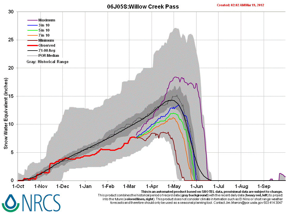
Willow Creek Snotel has reported static SWE since the D4 event, March 6, and no increase of SWE or new snow on Sunday, March 18, in association with D5. Any new D5 dust will rapidly merge with D4, enhance radiative forcing, and accelerate snowmelt rates and SWE losses in the already-isothermal snowpack in much of this watershed, given that D5/D4 remains exposed at the snowpack surface.
Forecast
The National Weather Service expects sunny skies and unseasonably warm temperatures to return soon after the current storm clears (Tuesday, March 20). Under the combination of strong solar radiation and warm air temperatures later this week, settlement of any new snow containing D5 will be very rapid and D5 will quickly merge with the D4 layer. Where the snowpacks in this locale are at or near isothermal temperatures, solar energy absorbed by the merged D4/D5 dust will begin and/or accelerate snowmelt rates and SWE losses. Where the snowpack retains cold content, energy absorbed by that D5/D4 dust will continue to accelerate warming of the higher elevation snowcover. As always, the lowest elevation snowpacks (now isothermal) will most rapidly respond to radiative forcing.