November 9, 2012: 1st Dust event of the season (D1)
Good Morning, on Veterans Day -
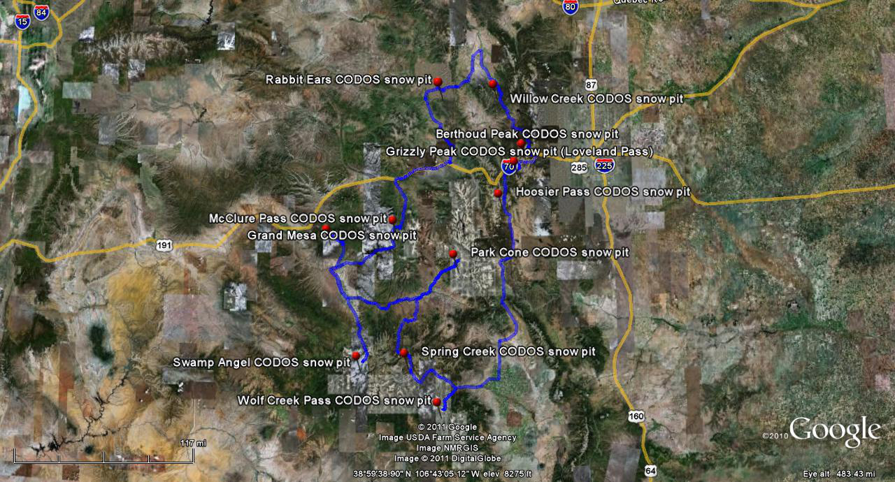
At long last, we've logged our first 'numbered' winter storm of the 2012/2013 season, and it was a no-doubter, delivering 1.77" of water equivalent as 16" of dense snow at the Swamp Angel Study Plot in Senator Beck Basin. We define Storm #1 of a given winter as the first storm that leaves a persisting snowcover over at least 50% of Senator Beck Basin and some snow in at least the upper Senator Beck Study Plot snow profile plot. That way, our snow profiles (at least at SBSP) will include Storm #1 at the base of the snowpack. In this case, we will have Storm #1 snow at the base of our snow profiles in both SBSP and the lower Swamp Angel Study Plot pits for the duration of the winter, barring extremely unusual weather in coming weeks.
Besides this healthy precipitation total, yesterday I confirmed that the fierce SSW'ly winds (averaging 30 mph, gusting to 82 mph) during Storm #1 also delivered a weak dust layer early in the storm - event D1-WY 2013 - near the bottom of the new snow layer at the comparatively well-sheltered Swamp Angel Study Plot. This is not unusual ... we've seen these weak dust layers with early winter storms before. If this dust layer becomes exposed (by wind stripping), and is in the sun for a prolonged period of time, it may result in S'ly aspects melting off again, as occurred last season when we had two small dust events in November (and another in December). By and large, though, the strong winds during this storm left S'ly aspects virtually stripped of the new snow, and probably the dusty snow too, redepositing that snow on leeward N'ly aspects. As seen from the south, driving north, our mountains still look "bony" even with this substantial storm, and alpine terrain shows considerable stripping and drifting.
Good to see many of you at the Colorado Mesa University Water Center's UCRB Conference last week ... as always, I learned a lot from a diverse set of presentations.
More soon,
Chris
Chris Landry, Executive Director
clandry@snowstudies.org
Center for Snow and Avalanche Studies
PO Box 190, Silverton, CO 81433 USA
(970) 387-5080
www.snowstudies.org

