April 6, 2012 Dust Alert
Greetings from Silverton on Friday afternoon, April 6th -
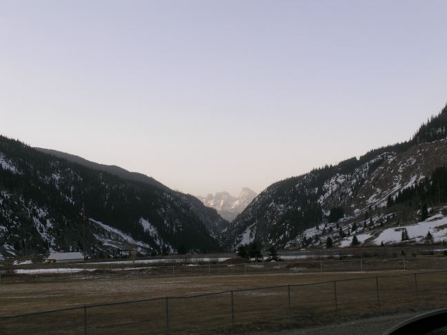
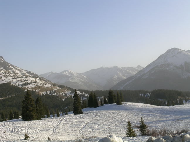
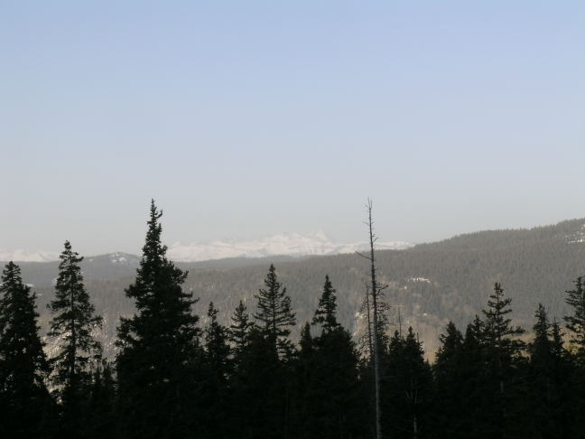
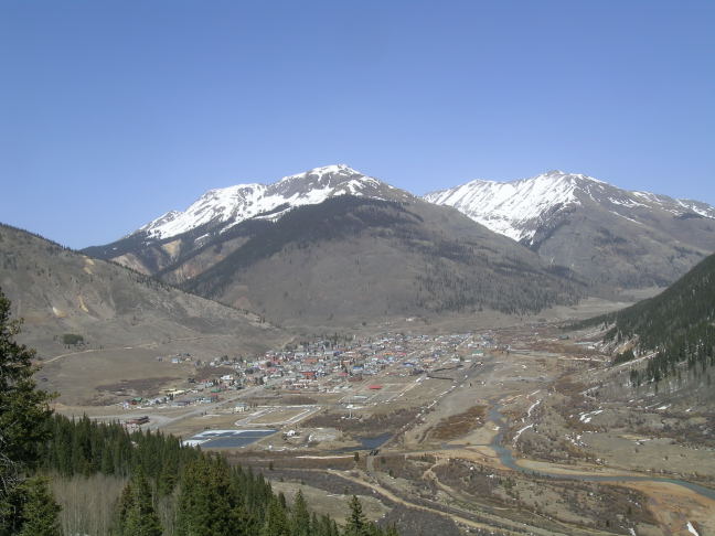
While there was a hint of dust mixed in light snow squalls as dark fell yesterday (Thursday, April 5), there was no doubt that dust was in the cloudless sky here this morning, event D8-WY2012, with reductions in long-distance visibility. On my way to the Southwestern Water Conservation District's 30th Annual Seminar this morning I took the first attached photo looking down the Animas River gorge from Silverton, the second from Molas Pass looking east, the third of the La Plata Mountains from Coal Bank Pass, and the final photo is of Silverton taken upon returning this afternoon, showing the absence of snow!
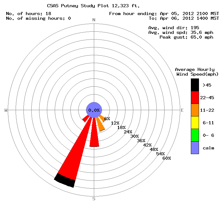
This event, as well as the D6 and D7 events, might be characterized as 'heavy haze', or 'dust-lite' storms as opposed to the much more intense dust storms that have been observed in recent prior years, that sometimes obscured visibility down to as little as 1 mile here in Silverton, and even as little as a few blocks in Durango and Grand Junction. Nonetheless, these kind of events do deposit new mineral material that is incrementally darkening the snowpack surface and reducing snowpack albedo. As stated, this event may have begun during the nighttime hours and, as of this writing at 3 PM, is continuing at virtually the same intensity observed this morning. The strong SW'ly winds delivering this dust have also been very sustained, in speed and direction, as seen in the Putney windrose also attached.
D8 is another dust-on-dust event. Since the D5 event which fell entrained in new snow, all three of the subsequent D6, D7, and D8 events have been deposited essentially dry, as dust onto already exposed dust at the snowpack surface. I have not yet received confirmation of D8 from other areas but did receive confirmation that D7, on April 1st, traveled as far north as the Storm Peak Laboratory at Steamboat Springs. Given the intensity of this wind field, it seems likely that D8 is also affecting other parts of the Colorado Mountains.
More soon,
Chris
Chris Landry, Executive Director
clandry@snowstudies.org
Center for Snow and Avalanche Studies
PO Box 190, Silverton, CO 81433 USA
(970) 387-5080
www.snowstudies.org

