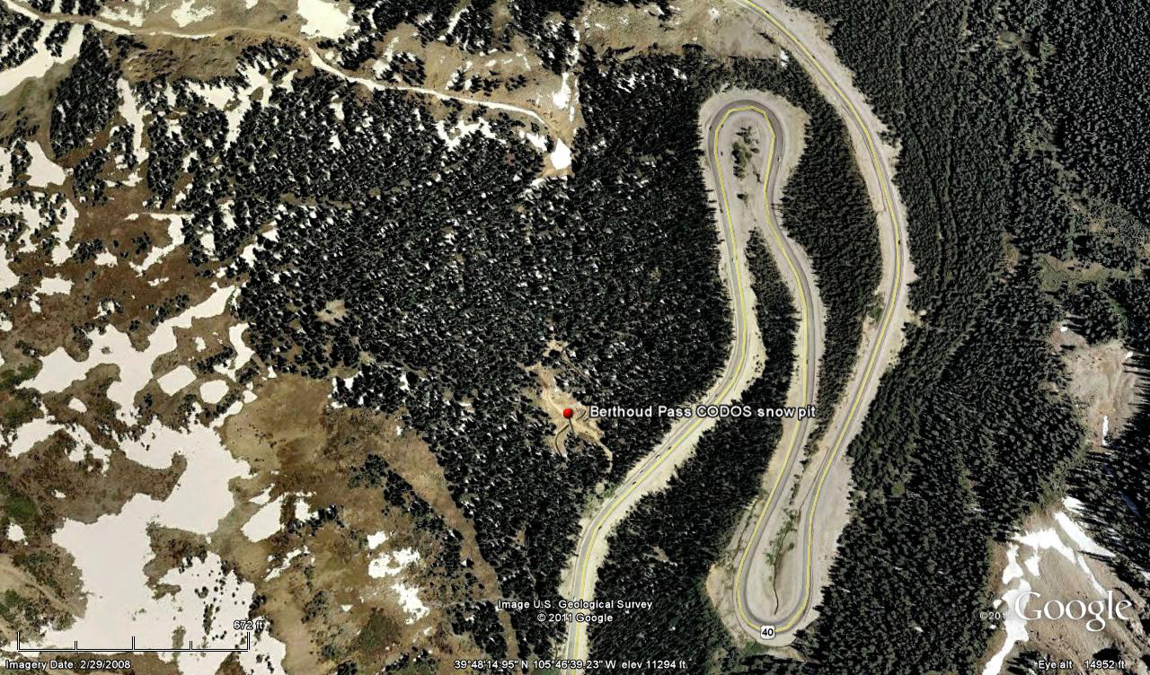
 CODOS Update for Berthoud Summit:
visited March 15, 2012
Summary | Snowpack | Melt Rate | Forecast | Earlier Updates | pdf
Summary
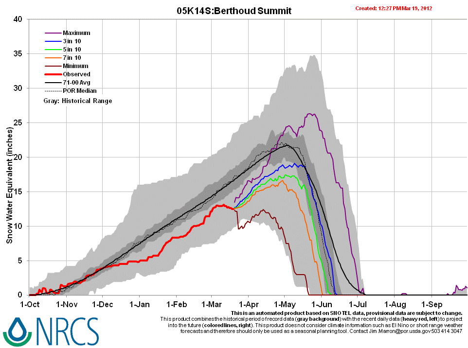
Sustained periods of unseasonably warm air temperatures and exposed dust at the snowpack surface during the late March and early April 2012 have, together, initiated accelerating rates of snowmelt and SWE loss at some, but not all, CODOS Snotel sites. Some CODOS Snotel sites report significant declines in SWE approaching the lowest values in the period of record (for a given date) or even falling outside of the historic range. Those sites may have experienced Peak SWE for WY 2012 in early or mid-March. Recent CODOS snowpits near those CODOS sites mirror those losses of SWE.
In contrast, other CODOS Snotel sites and CODOS snowpits show only small losses of SWE. At those sites, energy inputs from warm air and direct absorption of solar energy by dust at the snowpack surface was consumed in warming the snowpack towards an isothermal state at 0° C, as a precursor to the loss of SWE and onset of snowmelt runoff. Since our prior site visit on March 14 the snowpack at the Hoosier Pass CODOS site has lost all cold content and is now isothermal.
The National Weather Service expects warming weather in the Colorado mountains through Wednesday with strong SW’ly winds developing on Wednesday afternoon ahead of a cooler but largely dry airmass. Unsettled and cooler weather will finish the week and run through the weekend, including chances for rain and/or snow showers each day.
SnowPack Discussion
Total snow depth in this snow profile (pdf) was 44” and mean density of the snowpack was 308 kg/m3 (30.8% water content). Diurnal melt-freeze cycles had produced a strong melt-freeze crust at the snowpack surface, and some ice lenses in the top 8” of the snowpack, but the remainder consisted of increasingly weak, with depth, snow. The coldest snow temperature was -6.9° C, four inches below the surface, and the mean snow temperature was -2.6° C. As at the Grizzly Peak site, an additional dust layer, perhaps corresponding to event D1, was discernible five inches above the ground and another potential dust layer was located 17” above the ground.


Melt Rate
Berthoud Summit Snotel has reported virtually static SWE since the D4 event, March 6, and no measurable increase of SWE was reported with the new snow on Sunday, March 18, in association with D5. If the D5 event was deposited with any new snow, that D5 dust will rapidly merge with D4, enhance radiative forcing, and accelerate the warming of the snowcover to isothermal. At that time SWE losses would also accelerate, given that D5/D4 remains exposed at the snowpack surface.
Forecast
The National Weather Service expects sunny skies and unseasonably warm temperatures to return soon after the current storm clears (Tuesday, March 20). Under the combination of strong solar radiation and warm air temperatures later this week, settlement of any new snow containing D5 will be very rapid and D5 will quickly merge with the D4 layer. Where the snowpacks in this locale are at or near isothermal temperatures, solar energy absorbed by the merged D4/D5 dust will begin and/or accelerate snowmelt rates and SWE losses. Where the snowpack retains cold content, energy absorbed by that D5/D4 dust will continue to accelerate warming of the higher elevation snowcover.