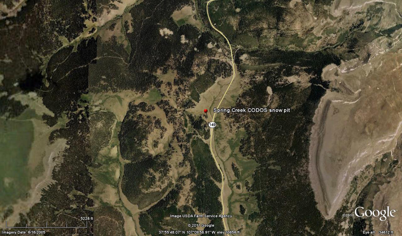
 CODOS Update for Spring Creek pASS:
visited March 17, 2012
Summary | Snowpack | Melt Rate | Forecast | Earlier Updates | pdf
Summary
Dust layer D4 (March 6) was observed at the surface of the shallow snowcover at Spring Creek Pass and in the upper Rio Grande valley. Melt had occurred at the snow surface at our northeast-facing snowpit site but most of the snowpack remained cold and dry. Since our site visit, a new D5 event (March 18) is likely to have landed on the D4 surface, entrained in a small accumulation of new snow. Radiative forcing of snowpack warming and snowmelt will resume and increase later this week.
SnowPack Discussion
This snow profile (pdf) was a near-perfect replica of the Park Cone snow profile. Total snow depth was just 28” and most of the snowpack consisted of very weak “depth hoar” grains; mean density of the snowpack was just 242 kg/m3 (24.2% water content). We plunged to the ground when stepping off of our skis, as at Park Cone. Diurnal melt-freeze had occurred in the upper few inches of the snowpack and had deposited a layer of ice some three inches below the surface, which was wet at the time. However, the rest of the snowpack was dry and the coldest snow temperature was -3.6° C; the mean snow temperature was -1.6° C. D4 was apparent at the snow surface but no other dust layers were discernible lower in the snowpack.


Melt Rate
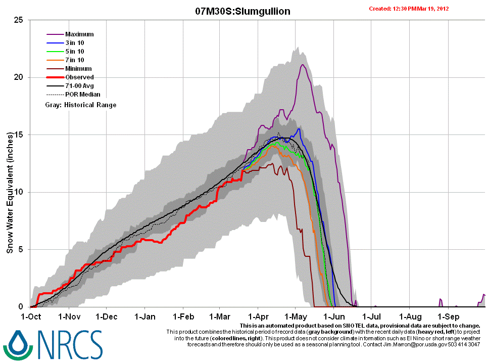
Slumgullion Pass Snotel, the nearest Snotel, has reported virtually static SWE since the D4 event, March 6, until receiving several inches of new snow Sunday, March 18, in association with D5. This new snow containing D5 will rapidly merge with D4 and solar energy absorbed by that dust will continue to accelerate the warming of the snowcover until becoming isothermal. At that time SWE losses would begin to accelerate, given that D5/D4 remains exposed at the snowpack surface.
Forecast
The National Weather Service expects sunny skies and unseasonably warm temperatures to return soon after the current storm clears (Tuesday). Under the combination of strong solar radiation and warm air temperatures later this week, settlement of any dusty new snow containing D5 will be very rapid and D5 will quickly merge with the D4 layer. Where snowpacks in this locale are already at or very near isothermal temperatures, solar energy absorbed by the emerging D4/D5 dust will begin and/or accelerate snowmelt rates and SWE losses. Where the snowpack retains cold content, energy absorbed by that dust will continue to accelerate warming of the snowcover. As always, the lowest elevation snowpacks (now generally isothermal) will most rapidly respond to radiative forcing.