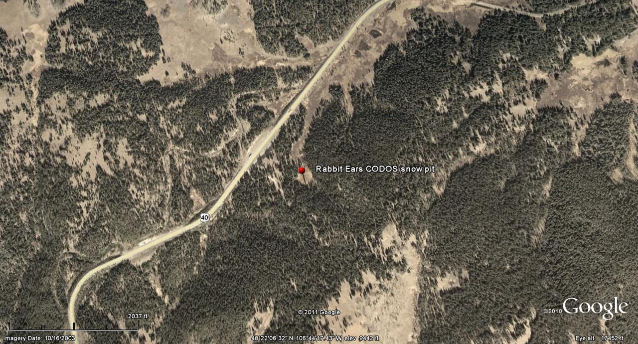
 CODOS Update for Rabbit Ears Pass:
visited March 15, 2012
Summary | Snowpack | Melt Rate | Forecast | Earlier Updates | pdf
Summary
Dust layer D4 (March 6) was observed, with its characteristic brown/pink color, at the surface of the snowcover at our Rabbit Ears Pass CODOS site and on surrounding terrain. The snowpack at our site was rapidly approaching isothermal and was wet or moist throughout the upper two-thirds. Since our site visit, a new D5 dust layer (March 18) has landed on the D4 surface, entrained in just a few inches of new snow. With the merged D5/D4 layer at the surface, dust-enhanced radiative forcing of snowpack warming will resume later this week and the snowpack will quickly become isothermal.
SnowPack Discussion
Total snow depth in this snow profile (pdf) was 60” and mean density of the snowpack was 322 kg/m3 (32.2% water content). Underneath the thawed melt/freeze layer of polycrystals at the surface, a thick layer of strong but moist snow contained numerous seeps of free water and ice lenses. The ubiquitous “depth hoar” seen throughout the state was also present at the base of this snowpack, and was still dry. The coldest snow temperature in this profile was -2.0° C, twenty-nine inches below the surface, and the mean snow temperature was -1.0° C. D4 was present at the snow surface and one possible additional dust layer was discernible, about 24” above the ground, at the top of the depth hoar layer.


Melt Rate
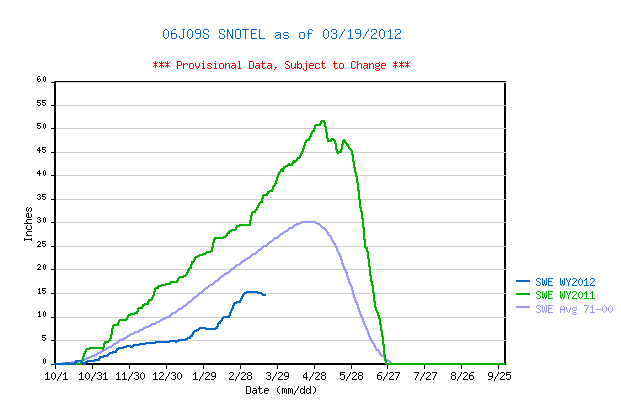
Rabbit Ears Pass Snotel has reported a slow decline in SWE since the D4 event, March 6, until a very small increase in snowpack on Sunday, March 18, in association with D5. Any new D5 dust will rapidly merge with D4, enhance radiative forcing, and accelerate the warming of the snowpack on the Rabbit Ears Pass plateau to isothermal. At that time, snowmelt rates and SWE losses would accelerate, given that D5/D4 remains exposed at the snowpack surface.
Forecast
The National Weather Service expects sunny skies and unseasonably warm temperatures to return soon after the current storm clears (Tuesday, March 20). Under the combination of strong solar radiation and warm air temperatures later this week, settlement of any new snow containing D5 will be very rapid and D5 will quickly merge with the D4 layer. Where the snowpacks in this locale are at or near isothermal temperatures, solar energy absorbed by the merged D4/D5 dust will begin and/or accelerate snowmelt rates and SWE losses. Where the snowpack retains cold content, energy absorbed by that D5/D4 dust will continue to accelerate warming of the higher elevation snowcover to isothermal. As always, the lowest elevation snowpacks (now isothermal) will most rapidly respond to radiative forcing.