Winter Storm Data 2025-2026
MOUNTAIN SYSTEM MONITORING: WINTER STORM DATA
See our Current Conditions page for the latest hourly data. All times shown are in Mountain Standard Time (MST).
- CSAS Storm Definition >= 12 mm SWE with no break in precipitation >12 hours
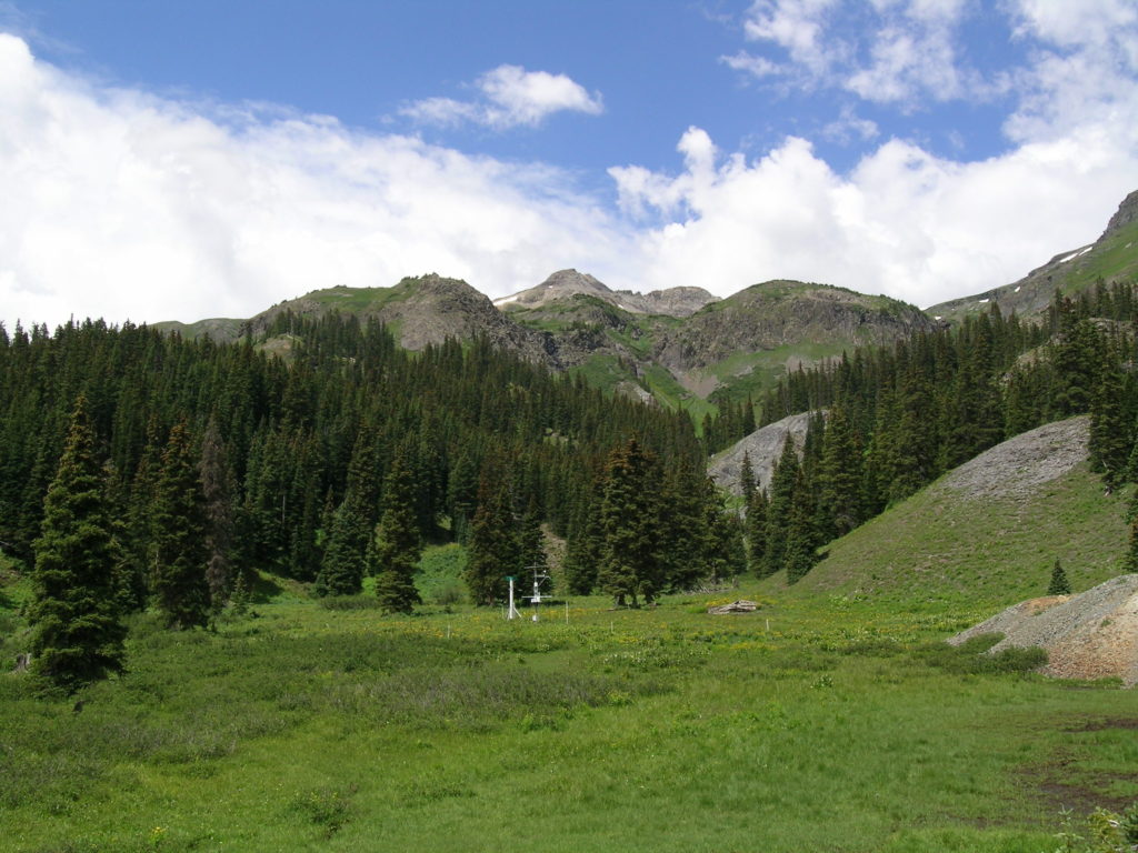
- SASP =Swamp Angel Study Plot(11,060′, in sub-alpine meadow)
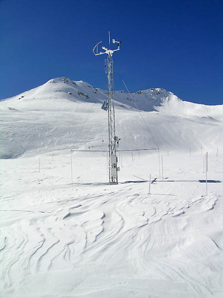
- SBSP =Senator Beck Study Plot(12,186′, on alpine bench)
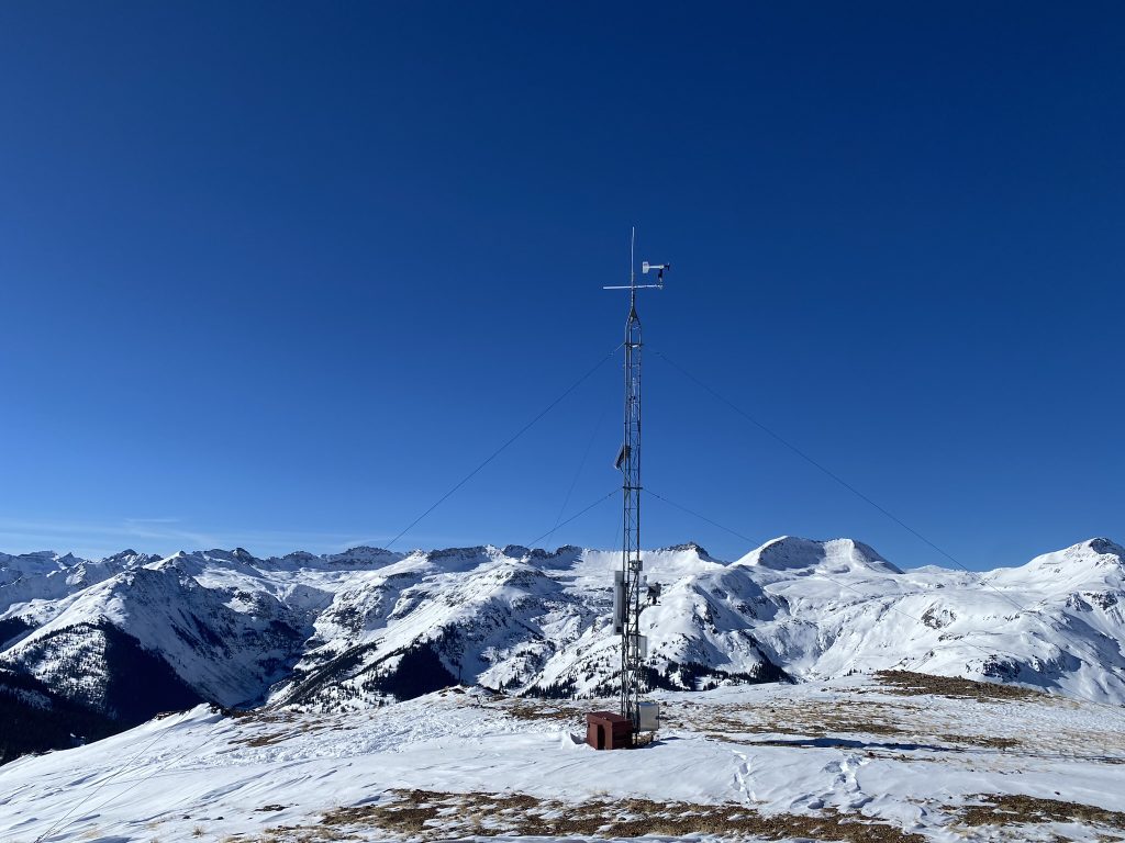
- PTSP =Putney Study Plot(12,323′ alpine ridge ‘free air’ site)
2025-2026 Winter Storm Reports
**At the start of WY2026, the precipitation gage began to have problems with cycling out collected precipitation. Twice, we manually poured in ETI fluid (alcohol solution) which is necessary to keep collected precipitation as liquid equivalent, hoping that it would catch up. (We have corrected the data for this, removing the mm of added solution from the data during those site visits.) However, the gage continued, as best we can tell, to freeze up and collect snow inside the can, before melting out and cycling the liquid through (thereby counting the mm of precipitation). We have kept the raw data as is, and you can see instances of precipitation recorded that is an improbable amount of snowfall per hour, for example, 7mm of precipitation as snow per hour is likely rather a delayed cycling of the gage and an amount snow collected over several hours. It is likely that it also under-reported precipitation if the can filled up with snow during a storm. The instrumentation of the gage underwent a calibration and parts upgrade in the summer of 2026 due to these issues. We suggest consulting the snow water equivalent and snow depth data at Swamp Angel to verify incremental precipitation, as well as the nearby Red Mountain Pass (RMP) SNOTEL precipitation gage, for WY2026. We included RMP SNOTEL precipitation on these storm reports for reference.**