MAP OVERVIEW OF THE SENATOR BECK BASIN STUDY AREA
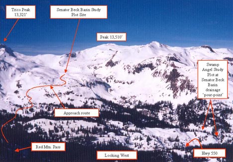
| For more info, see our GIS data pageA view of the Senator Beck Basin study area from Red Mountain #3, showing the location of the Senator Beck Basin and Swamp Angel Study Plots. |
 |
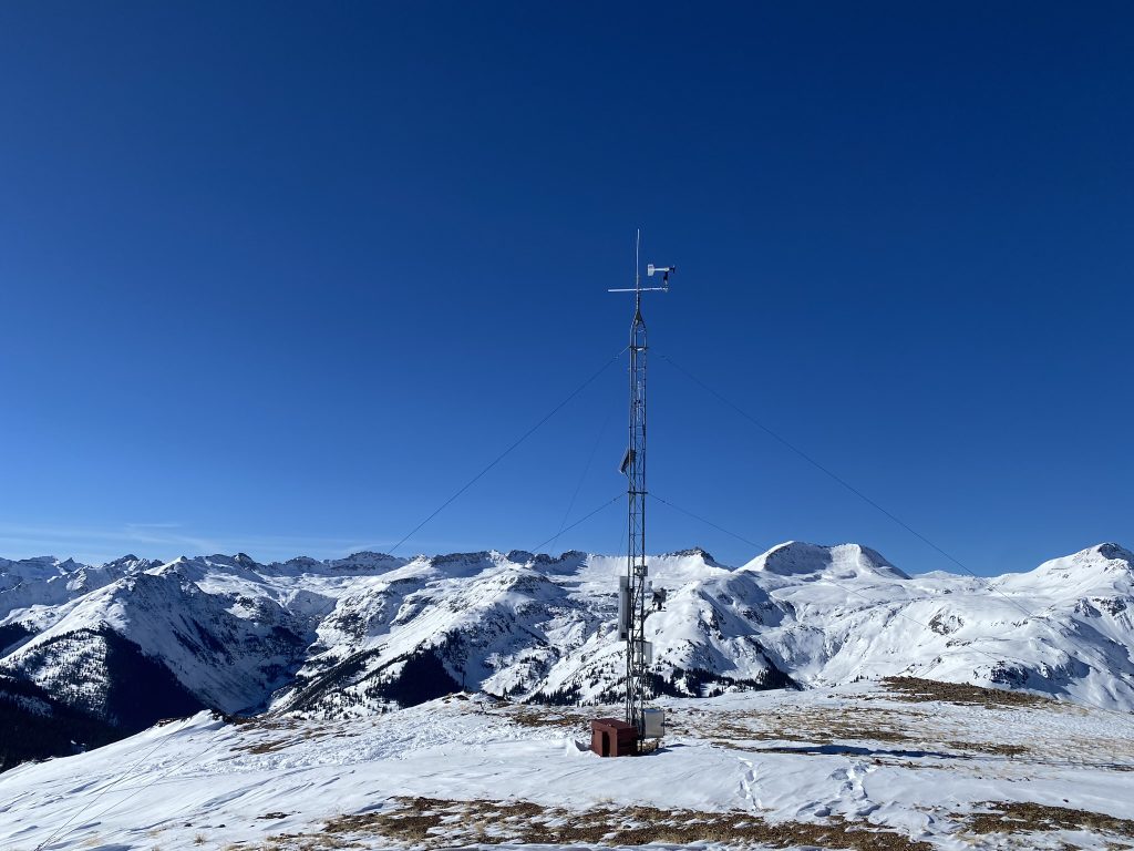
| A closer view of the Senator Beck Basin study area from Red Mountain #3, showing the location of the Senator Beck Basin Study Plot, elevation 12,186 feet (3714m) | 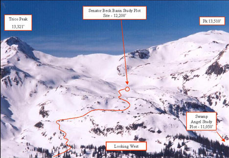 |
| A shaded digital ortho quad topographic map of the Senator Beck Basin Study Area showing the location of the study plots and stream gauge (Putney study site, located east of Hwy 550, not shown on this map). Elevations are shown in feet. (DOQ -courtesy of Digital Data Services, Inc.) Click the map for a larger version. |  |
| A 30m DEM of the Senator Beck Basin Study Area depicting proportions of major land cover types, and showing the study site locations as yellow triangles. Elevations are shown in meters. | 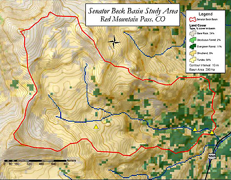 |