Current Station Images
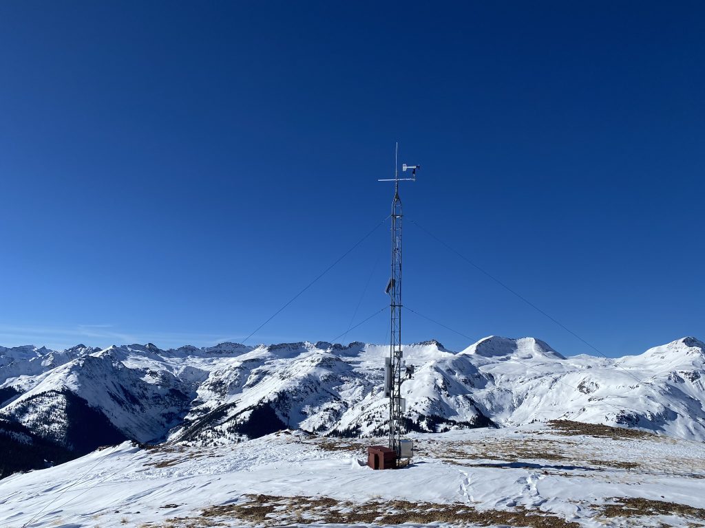
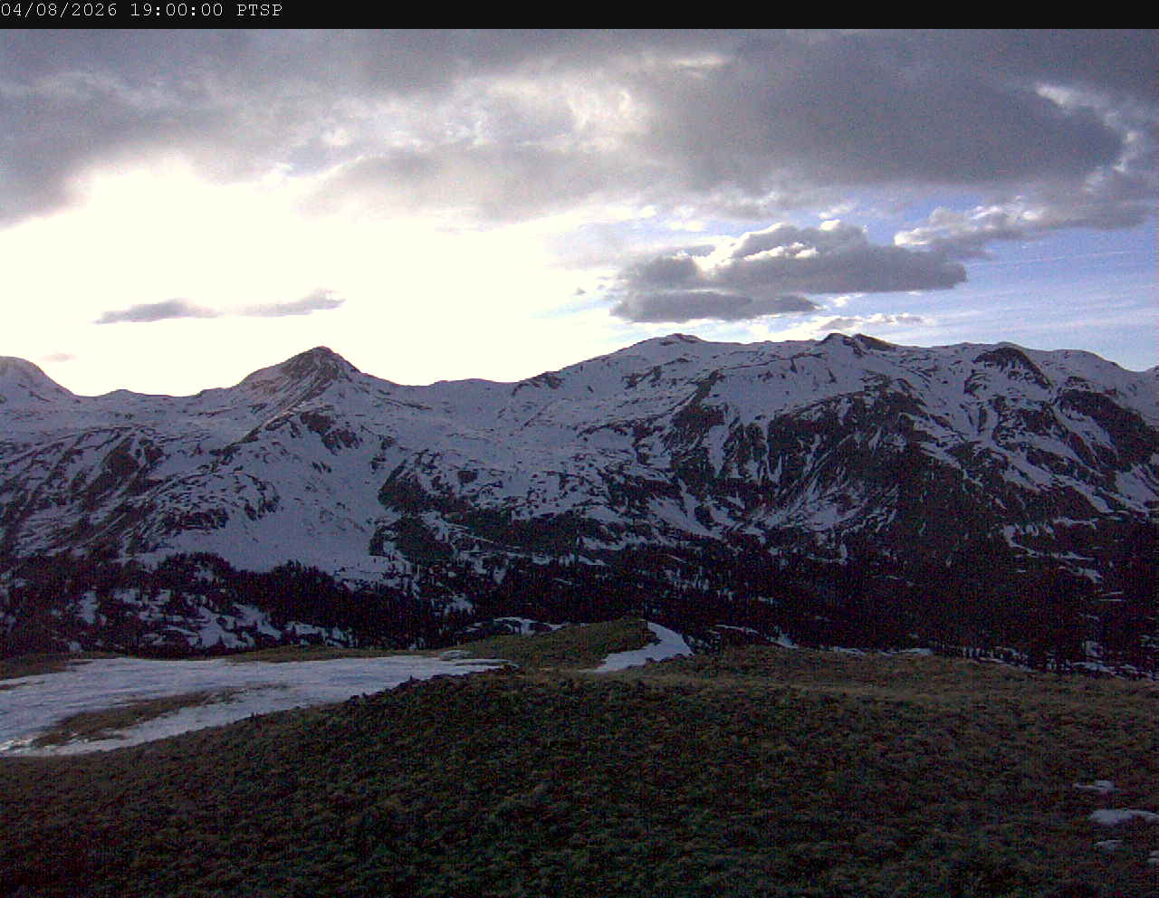
Putney Station (PTSP): See coordinates. Located on top of Putney looking west. Trico Peak is in center of photo. Black Bear Pass Road is visible left side of image in summer. Senator Beck Basin is in the right half of image. Swamp Angel station is barely off the image in the trees located lower right.
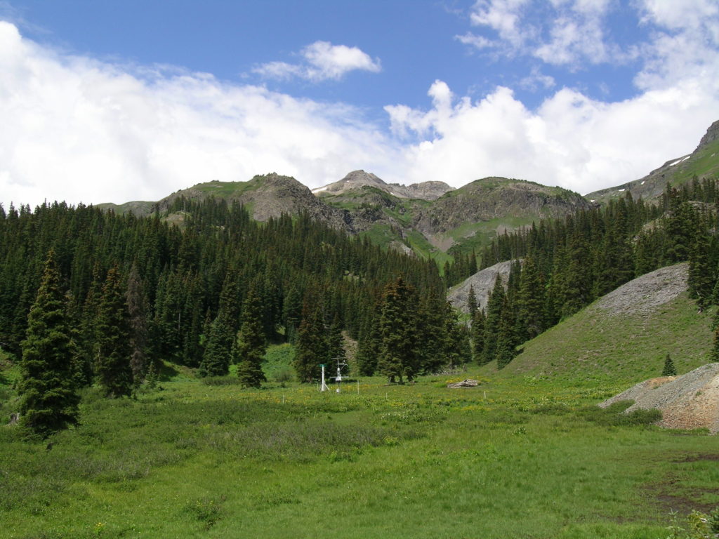
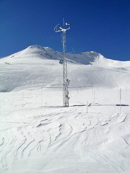
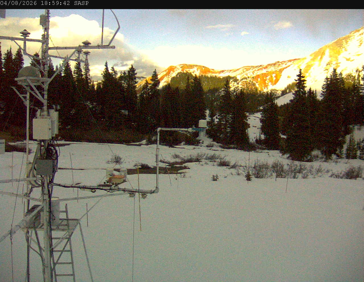
Swamp Angel Station (SASP): See map and coordinates. Image looking east/northeast just north of Red Mt Pass. Image includes snow depth sensor in center, up-looking and down-looking radiation sensors on tower. In summer the snow scale is seen in the lower right quadrant.
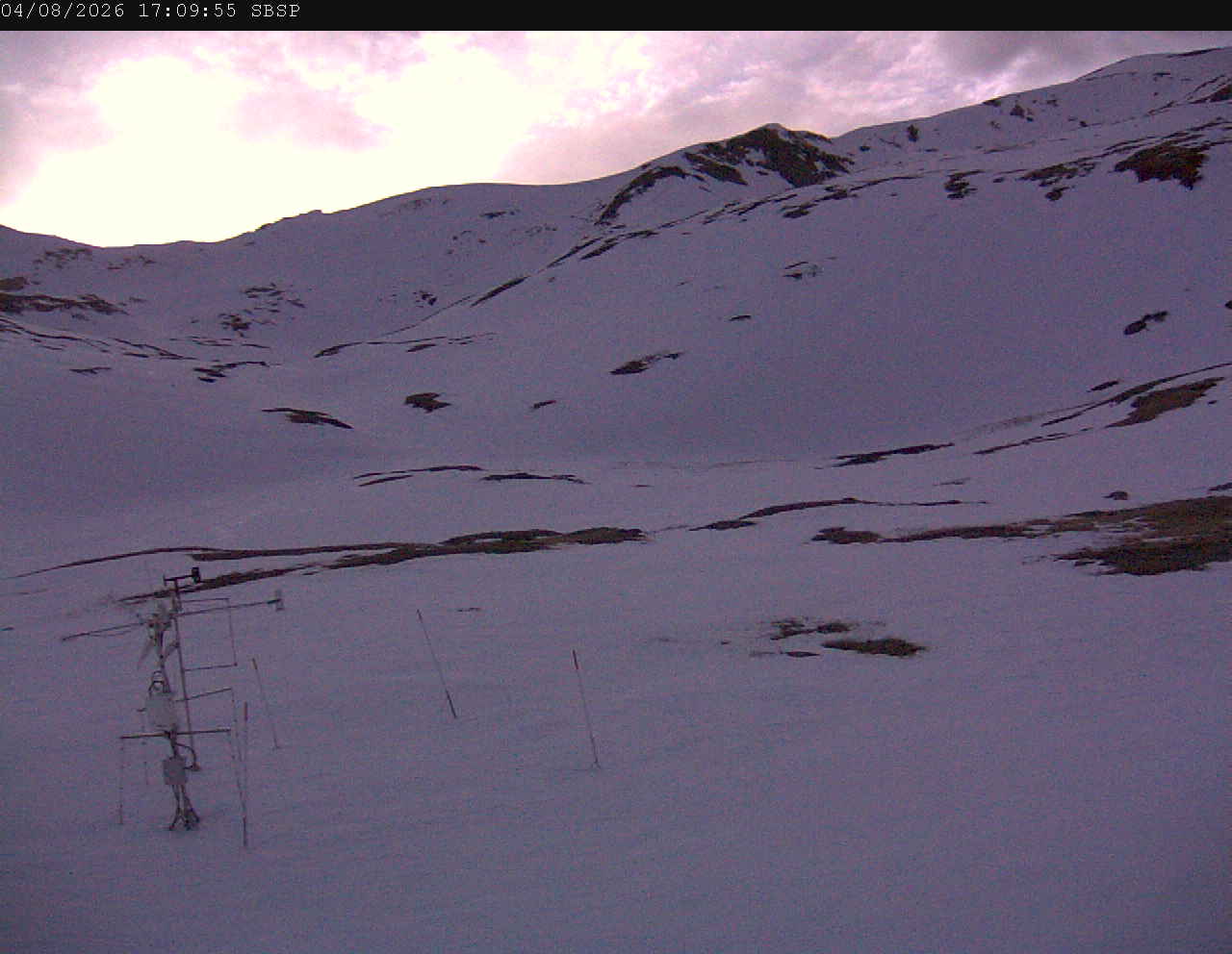
Senator Beck Station (SBSP): See map and coordinates. Image looking west from Senator Beck tower. Trico Peak is slightly off the image to the left. Meteorological station at lower left is part of the USGS’ Next Generation Water Observing System (NGWOS) network. Collocated with Senator Beck station for data comparison.
PTSP
SASP
SBSP