PDF Reports and Excel Workbooks
MOUNTAIN SYSTEM MONITORING: WINTER STORM DATA
This CSAS Storms and Precip Data workbook contains WY2023 and the past 20 seasons of CSAS winter storm data, including:
- Dates, times and duration of each winter storm event (2003-current)
- Change in the height of snow at both our alpine Senator Beck study plot and our subalpine Swamp Angel site.
- Peak gust data from our Putney site.
- Mean and maximum precipitation intensity during each storm
- Total new water accumulation in mm for each storm event.
- Summary data for each month of the season.
- Cumulative annual precipitation graph by month
See our Current Conditions for the latest hourly data. All times shown are in Mountain Standard Time (MST)
|
Past Winter Storm Reports: 2024-2025, 20 storms (pdf) |
- CSAS Storm Definition >= 12 mm SWE with no break in precipitation >12 hours
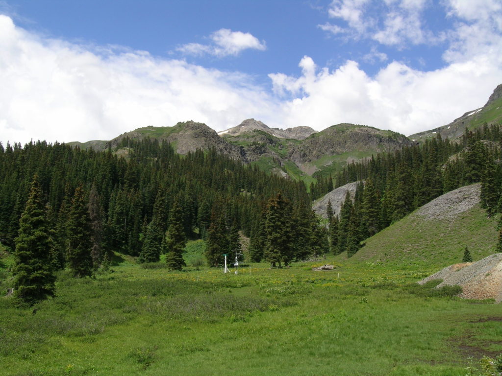
- SASP =Swamp Angel Study Plot(11,060′, in sub-alpine meadow)
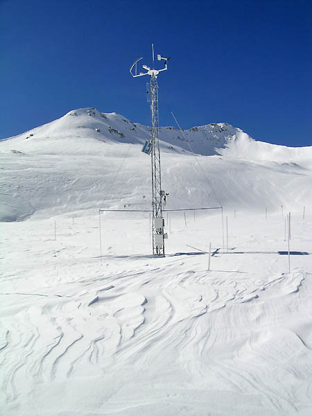
- SBSP =Senator Beck Study Plot(12,186′, on alpine bench)
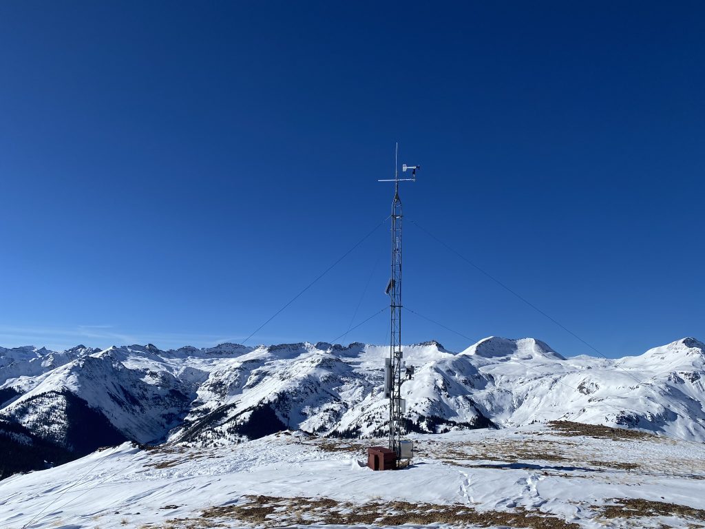
- PTSP =Putney Study Plot(12,323′ alpine ridge ‘free air’ site)


